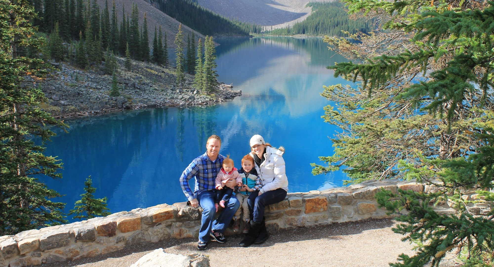
Leading up to Christmas this year the kids really started to show signs of understanding the importance of why we really celebrate Christmas. It began a few weeks before Thanksgiving while driving in the car with my son. We drove past a retail center that already had Christmas decorations up. He asked why they had the decorations up already, and I replied they are decorating for Christmas so they can get a jump start on sales for people buying Christmas presents. He then said, “It’s not even Thanksgiving yet, they should really just care about Jesus’ birthday.” We decided that we should take the chance to “get away” for a few weeks during Christmas break from school, and we ended up in the High Country of North Carolina to do some hiking.
Mt. Mitchell Area
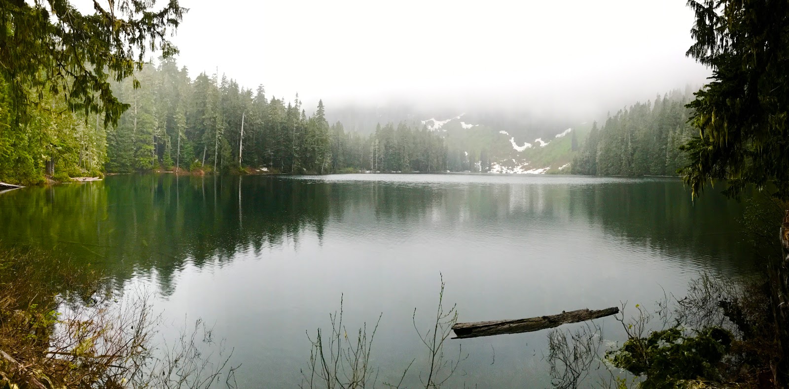
Our first week in the High Country we stayed in the area of Busick, North Carolina. Don’t worry you can’t find the city on the map. It’s one of those places with no cell phone signal, dirt road access, and a beautiful running creek parallel to the road. The road dead ends at the Black Mountain  campground with several trail heads. What it lacks in grocery stores, it more than makes up for with great trails, fishing access, and quiet. It’s a short ride to the Blue Ridge Parkway with the only negative to that being when the road is closed due to Fog or Snow.
Catawba Falls Trail
On Christmas Eve we decided to get out of the house, do some geocaching, explore the area and do a short hike to a waterfall. We found several 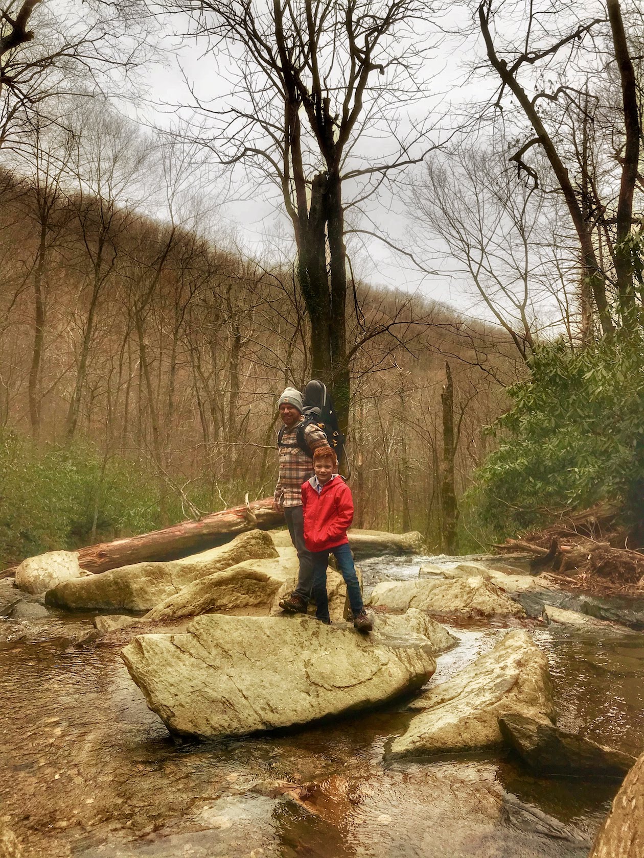 geocaches as we circled from north of Mount Mitchell to the west near Burnsville then south toward Asheville before finally approaching our hike at Catawba Falls. This hike was relatively easy. We decided to wander a bit off the trail to try and find another geocache, but unfortunately we never found it. The trail was about 2.1 miles out and back with a very modest 330 foot incline. Follow this link here for more details and to see full hike details on the All Trails App/Website.
 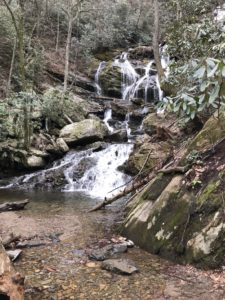 However, it did make for a great stopping point at the waterfall and a great way to stretch our legs.
Roaring Fork Falls Trail
Christmas Day was upon us and we needed to get the kids out of the house! Lucky for us this trail was right around the corner. This was by far the easiest trail we hiked. If we’ve learned anything hiking with our 4 year old daughter,  it’s that she absolutely despises easy hikes. This hike is 1.4 miles out and back and there were no rocks or roots or heavy inclines. We were able to find two geocaches along the way, one of which was one of the types our kids love to find…geocaches with random quarter machine toys that other people have left behind. The falls weren’t the most amazing we’ve seen, but they were fun to walk around and the hike again was something to let the kids burn some energy.
Peak of Mount Mitchell
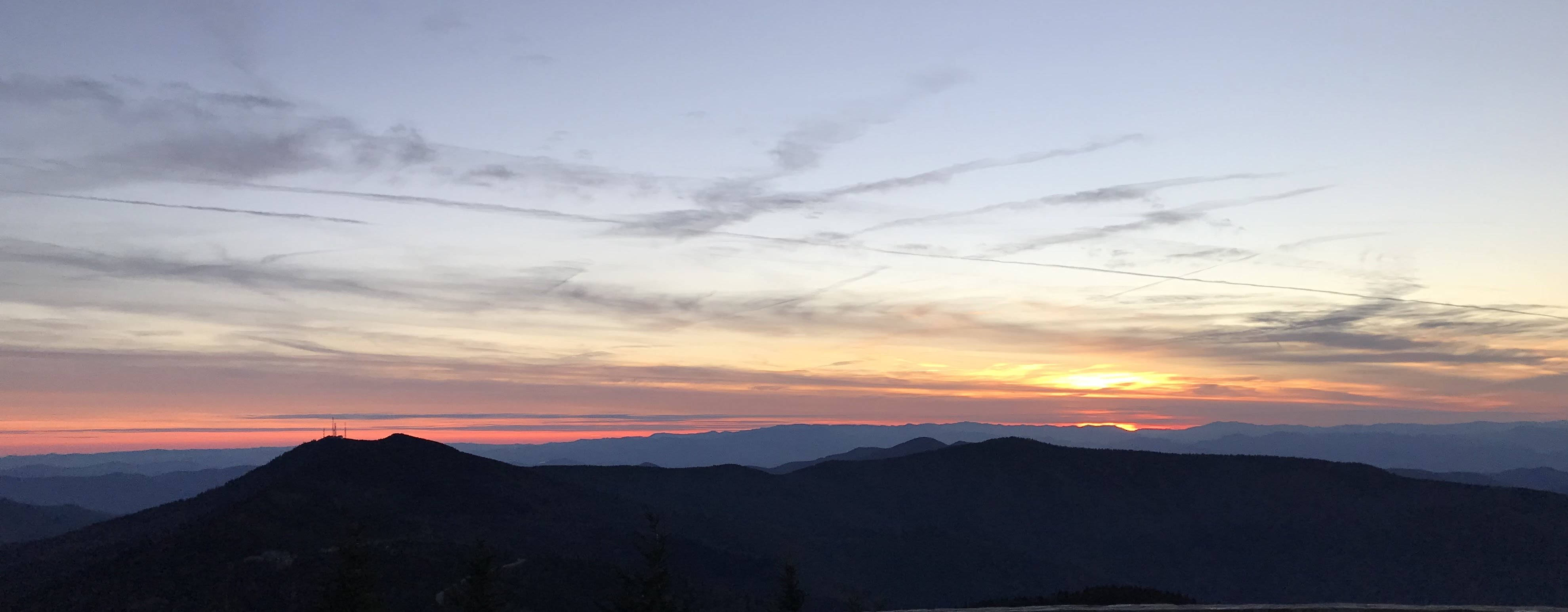
The day after Christmas we decided to drive around and see if we could find some geocaches. For the most part we didn’t do much except hunt around for  geocaches. The Blue Ridge Parkway had been marked as closed for the previous few days due to some unreal fog. I’ve never driven in fog some think in my life. Driving about 15 mph I still almost hit several deer and a group of turkeys twice. We got back to the house sometime around 4pm and I happened to check the Blue Ridge Parkway website for a status update. Upon checking I noticed they had opened the parkway all the way to the road that leads to Mount Mitchell. It was a rare sunny day this
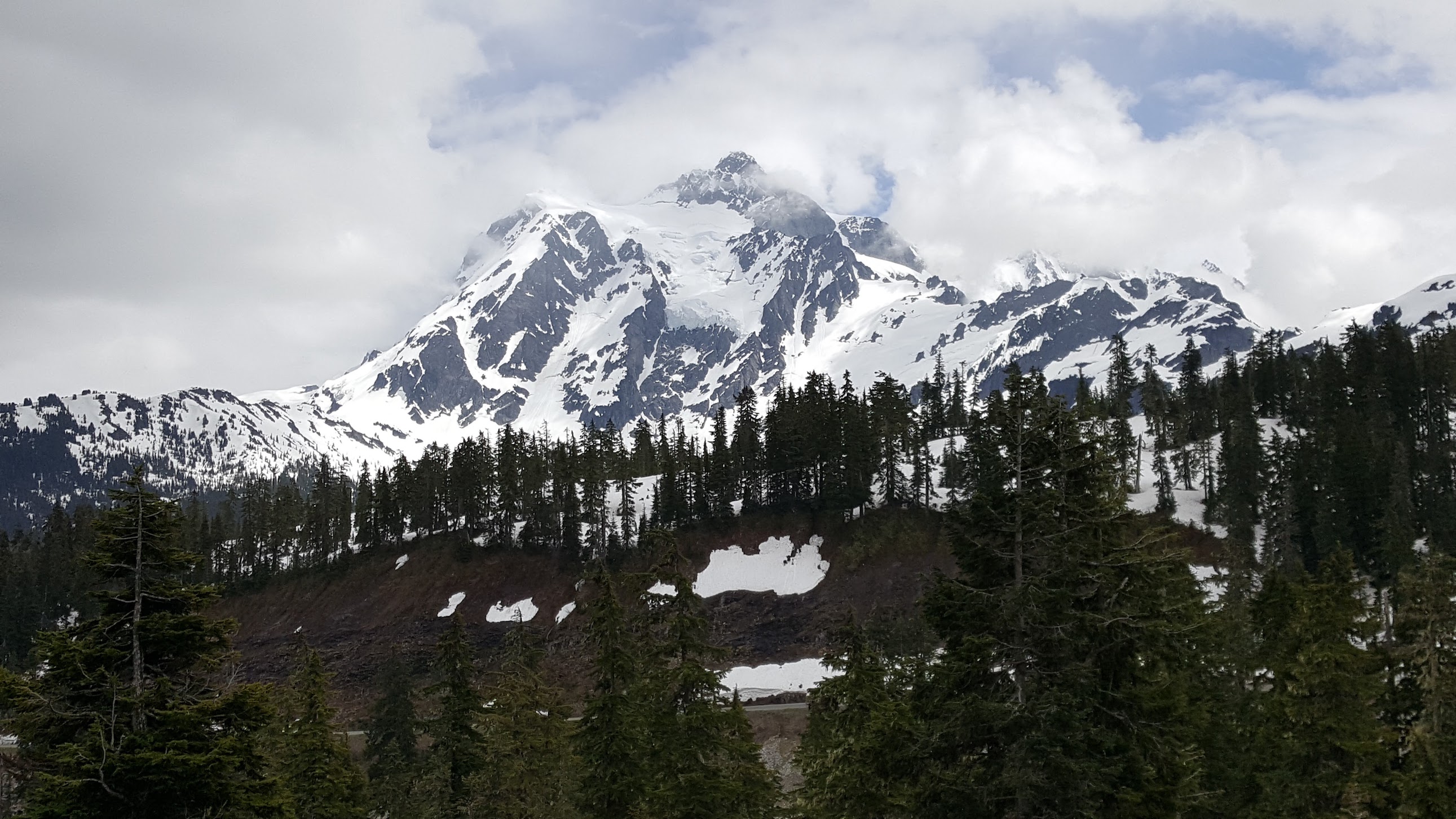
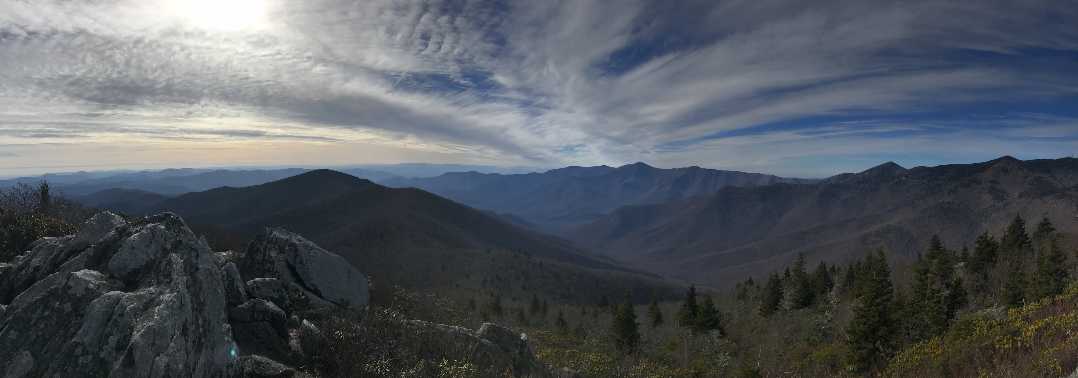
 week, and I didn’t want to miss the opportunity to see the sunset from the peak of Mount Mitchell. So we loaded up and drove way too fast to the peak of Mount Mitchell. We got there in perfect timing too. The temperature was about 22 degrees. As we got to the peak I jumped out of the car and ran the 400 meters to the peak on the paved sidewalk. I then had to wait about 5 minutes to have the burn in my lungs completely stop. It was so worth it though. The colors across the sky were unbelievable. Had it not been so cold I could say up there for an hour just staring at the sky.
Pinnacle of the Blue Ridge
This trail was very unique. It’s a 2 mile loop trail with an almost 500 foot elevation change. There is 1 off road parking spot right at the trail head (which doubles as a park service access road). However, if you drive 1/4 a mile up the road there is more parking and you can walk off the road in the grass. 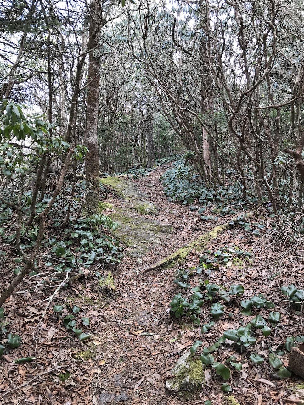 This is a loop trail and if to find the trail head on the right you will want to use the All Trails app to find it because it is not marked. The entire first half of this trail was through weird overhanging bush trees and basically a straight up hike. It most definitely burned the calves. It was quite strange compared to the rest of the mountain area trails though. When you are walking through the first half all you think to yourself is please let this open up at least once to see something cool. This trail did not disappoint. When we finally made it to the high point the trees disappeared and we were able to climb boulders to find some pretty amazing views. We hung out on the rocks for a bit, took a picture with our daughters class project (Flat Stella) and enjoyed some snacks for a bit.
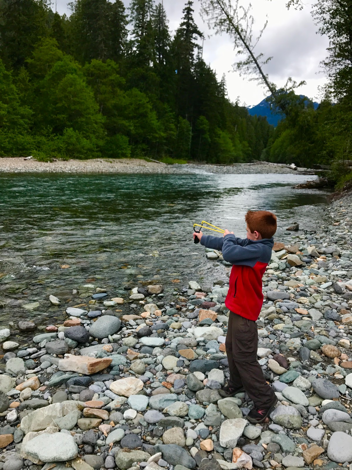
Fly Fishing
While we/I were semi prepared for some fly fishing. What I wasn’t prepared for was fly fishing in the bitter cold. We made a couple of attempts in the South Toe River, but unfortunately the weather was just too cold and too cloudy. Stay tuned for our next trip to this area when there’s warmer weather in the spring! For now, enjoy a few pictures of our son having his first go at fly fishing.

River Loop Trail / Setback Falls
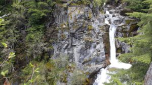
For the end of our first week and first location we decided to give one last hike a go. First, the All Trails app was way wrong on how long this hike was. Yes, it is a loop trail, but it was more like 4.5 miles instead of the 3.5 miles it said it  was. The end of the hike was very strenuous, and honestly the views weren’t that great. The best part of this trail was the 1/4 mile side hike to Setback Falls. What made the falls really neat was the fact that it was so cold the falls were mostly frozen. The kids had some fun and we took some neat pictures as well.
First Week Summary
All in all, we loved the area. There are so many trails to explore and geocaches to find and in warmer weather plenty of places to fly fish. We’d love to come back here again. What’s great about this place, is that it wasn’t chock full of tourists like us during the holiday time period!


 the snow became too difficult. The hike itself had some really pretty view in the short distance. However, we did come to an area where we could not pass with the kids. It was what looked like was a usual slanted rock stretch heading straight down about 200 feet to the bottom. What made this difficult was the snow build up. It was just any snow build up. No, this snow build up had half way melted and had left what was essentially a hollow cave/bridge for you to walk over. It was probably at the most 18 inches thick, so walking across it was pretty dangerous. We chose not to bring the kids, and in fact I was the only one that kept going. I knew by looking at the WTA app that I wasn’t that far from the last waterfall, maybe 3/4 of a mile. I made it across and started jogging. Without a carrier and other baggage, it felt like I could run for days…that didn’t last long though haha. I eventually made it to the more difficult snow area and I just kept sinking down in the snow. It was actually pretty painful on my knees catching me off guard each time. The view was so well worth it though and if there was more time I would have kept hiking even further.