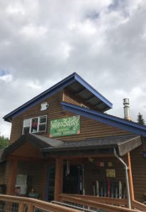
For those that have been following our blog, we’ve totally slacked the last several weeks in coming up with our latest post. Most of this is due to Hurricane Irma. We’ll make a brief post on Irma later, but for now let’s focus on a few areas from Days 11-14: Mt. St Helens, Yakima, and some back roads fishing.
Mt St Helens
The weather really put a damper on our trip to Mt St. Helens. It was cloudy and rainy the entire day, not unusual, but annoying when you’re a tourist. The drive to the volcanic wonder site taking some back roads was very pretty, which almost made up for the clouds. The visitor center at the Johnston Ridge 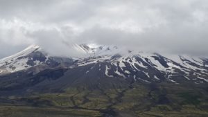 observatory was very crowded, but extremely informative. We actually made 2 trips to the observatory that day. We were headed down about a 30 minute ride away when I thought I saw a break in the clouds. I took a chance, turned the car around and we headed back to the observatory and we were blessed with a slightly better view. It wasn’t perfect, but it was better than nothing! Learning about the eruption, how it affected the area, and the environmental changes was awe-inspiring. You can still see acres upon acres of trees fallen down and the re-growth hasn’t even begun yet and it may never begin. However, the surrounding areas once you get to that clear line where the devastation wasn’t as bad, is truly beautiful with large tress and lush growth.
Cowlitz Falls Park and Random Hiking
For most people, you won’t hear much about this little park. It isn’t even really a park as much as it is a parking lot. However, this little area was pretty neat. 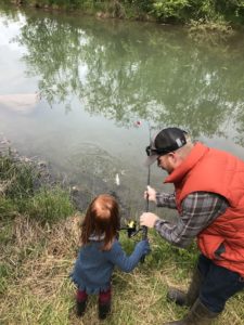 We brought the fishing gear and some waders on this day with some live worms and figured we’d give it a shot to catch some trout. There are so many areas of Washington with dams and fish hatcheries for Salmon and Trout. We didn’t really plan to do fishing on this trip, though the AirBnB we stayed was gracious enough to let us use all their fishing gear! At this park, they have some picnic tables, where we sat and ate lunch, and they have a little alcove of water set apart from the Cowlitz River and that is where all the locals come to fish. There were no tourists here. The people coming to fish here were locals and
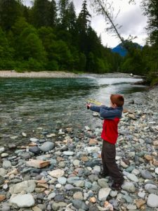
 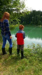 they were fishing for their 3 limit max of Rainbow Trout per person for food that night. Laura and Evan tried their luck with a lure on the river side while Olivia and I tested our luck with the worms. It didn’t take long, after about 30 minutes we had our first bite. I let Olivia reel it in and it was a beautiful rainbow trout, very small, but a pretty fish and she had fun reeling it in. Though she made sure to let everyone know daddy caught it she just reeled it. There’s no fooling her even though we tried to convince her she caught it. From here we decide to drive around and thought perhaps the roads might be open to the Western side of Mt St Helens.
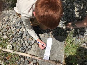
 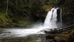 Unfortunately, they weren’t but we did some GeoCaching, random hikes, and a fun bumpy ride to scare everyone as we went downhill! We stretched our legs a bit, saw some beautiful scenery, and better yet we were the only people for miles!!
Oak Creek Wildlife Area, Naches, and Yakima
This day was a VERY rainy day. In fact it was rainy everywhere we went except Naches. Which very amazingly is the area where just about every Washington  apple sold comes from it seemed like. There were rows upon rows of Apple and Cherry trees. On top of that, the warehouses with all the apple crates outside were pretty neat too. Laura kept wishing she could have brought an apple crate home for an home decoration idea. On this day we stopped for lunch at the Naches Applewood Park. It was a nice little park with a lot of open space, a couple of playgrounds and a swimming pool. We enjoyed our picnic lunch before the rain came at this stop too. Before Naches we decided to venture to Oak Creek Wildlife area. Let’s just say in the summer, it’s pretty bare and the animals are pretty scarce as well. The road is not recommended if you have a minivan as it’s very rough. We drove for a mile or 2 before turning around. In the winter this is a designated safe zone for animals and it’s really helped re populate various animals. We ventured after Naches to Yakima, if you go to your local Publix in Florida you can buy Yakima Apples for a whopping $4 per pound whereas in Washington they are $.99 per pound. Quite a lot of transportation cost associated with those apples. There isn’t much going on in Yakima, it’s a pretty big city and had a nice little outdoor shopping center, but other than that we didn’t do much there. We then battled a heavy rain on the way back to Packwood.
Sunset of Mt. Rainier
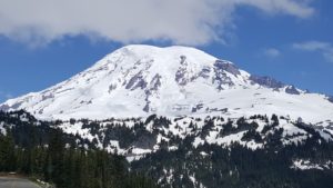
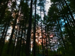
While it was rainy for the majority of our time this week in Packwood, we were extremely blessed to capture this picture here. We took Snyder road up to 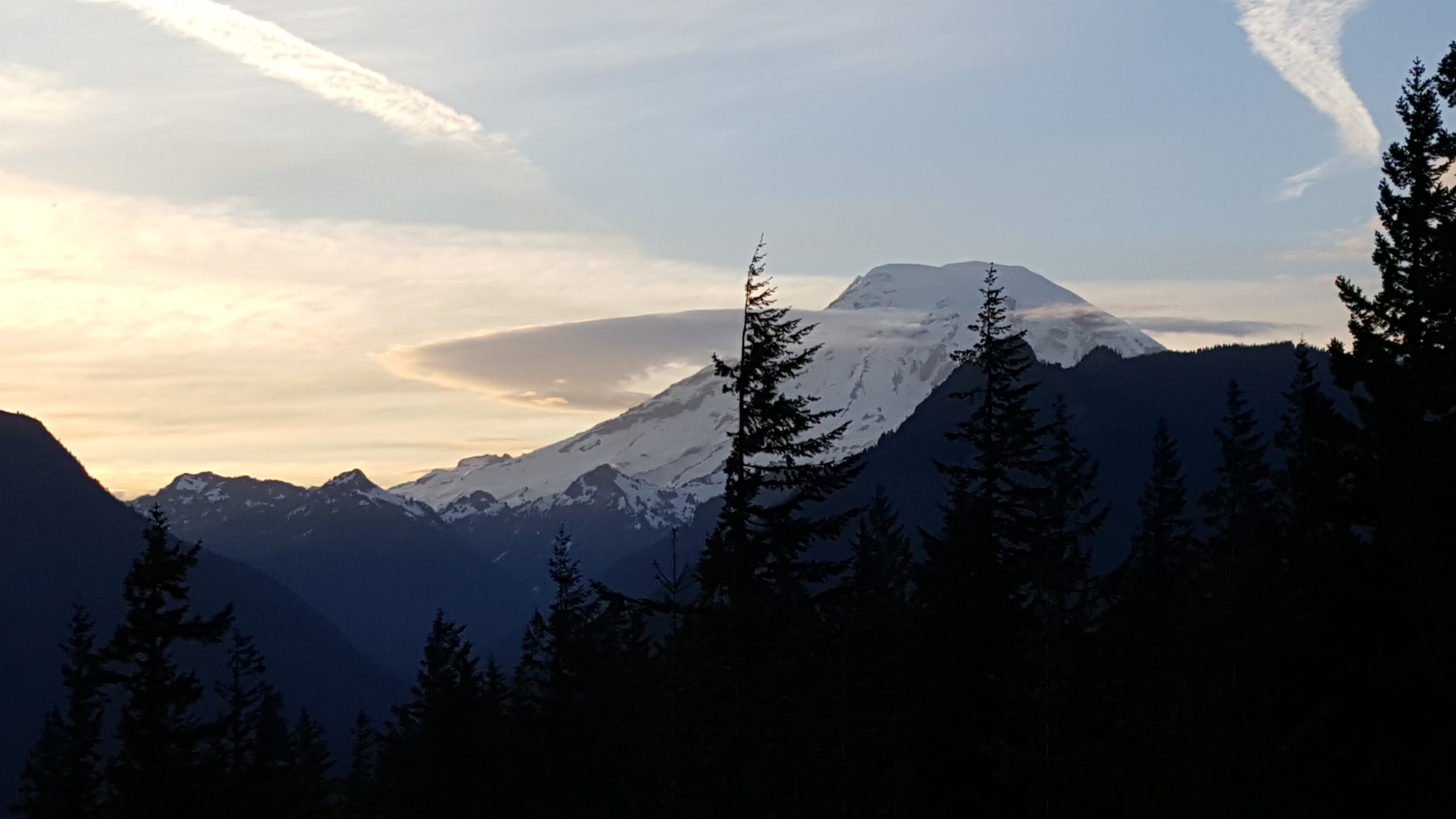 NF-1260 where at the very top there’s a host of trails you can take as well as some back woods camping spots. In the rain a few nights prior up here we saw a mom dropping of her two teenage sons to go camping. This night however, we didn’t go all the way to the top. A short ways from the top there’s an electrical station of some type with a massive antenna and an absolute perfect clearing to see Mount Rainier. The picture doesn’t even do it justice at all.
 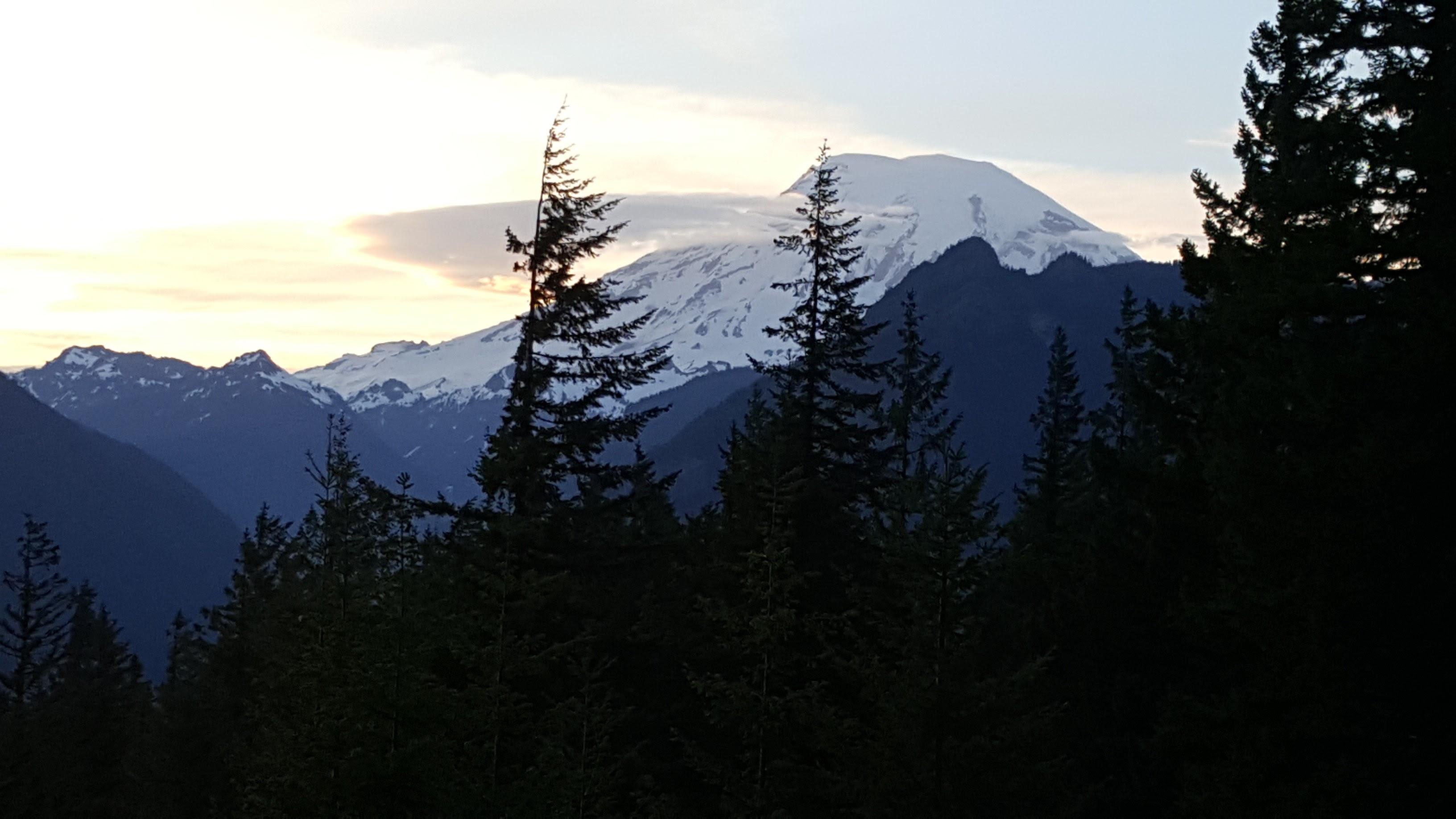 The sun was setting and the clouds were moving away and left this amazing ring of clouds around the mountain that was just really neat to see. Couple that with the sunset and it made for a perfect evening for just Laura and I. Laura’s mom graciously watched the kids and got them ready for bed for us so we could go do that and I am so thankful she did! We might not have otherwise been able to get the picture.
This wraps up our post this week, stay tuned next week as we detail our drive from Packwood to Vancouver by way of Seattle and Everett.
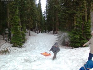
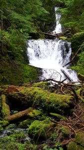
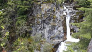 the snow became too difficult. The hike itself had some really pretty view in the short distance. However, we did come to an area where we could not pass with the kids. It was what looked like was a usual slanted rock stretch heading straight down about 200 feet to the bottom. What made this difficult was the snow build up. It was just any snow build up. No, this snow build up had half way melted and had left what was essentially a hollow cave/bridge for you to walk over. It was probably at the most 18 inches thick, so walking across it was pretty dangerous. We chose not to bring the kids, and in fact I was the only one that kept going. I knew by looking at the WTA app that I wasn’t that far from the last waterfall, maybe 3/4 of a mile. I made it across and started jogging. Without a carrier and other baggage, it felt like I could run for days…that didn’t last long though haha. I eventually made it to the more difficult snow area and I just kept sinking down in the snow. It was actually pretty painful on my knees catching me off guard each time. The view was so well worth it though and if there was more time I would have kept hiking even further.
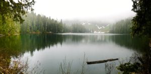
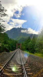 background. I was not driving through that area, even if it took us an hour out of the way, without seeing that. It was really amazing because it was absolutely pouring down rain when we got there. I tried looking at the weather radar and it kind of looked like in half an hour or so there may be an opening. So we drove past it and decided to look for a GeoCache. Though, that search turned out to be a DNF. The Cache was right off the road somewhere, it was pouring down rain, and the ground fell straight down off a cliff.